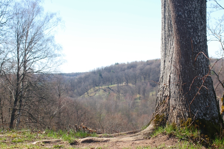
 After meandering through the centre of Lithuania’s capital Vilnius, the Neris continues into a natural haven, stretching 60 kilometres from the western end of the city towards the country’s second city Kaunas. The Neries regional park flanks the river a few kilometres deep on either side for the entire stretch, creating a corridor of relatively undisturbed nature for the wildlife and plants that call the river and its watershed home. The most famous sight in the park is without question the Kernave fort-hills, that once were the capital of Lithuania when the country was beginning to consolidate from its many tribes. But the park is well organized, and a website offers numerous other excursions, ranging from one-hour signposted trails in the woods, to longer full-day picnic excursions, and even two-day hikes. Some trails are suitable for bikes, and all are helpfully signposted with voluminous information about the surroundings, nature and history (through overwhelmingly in Lithuanian only). Some trails are flat, others take in some less well-known hill-fort sites, and others cut through quaint picture-postcard rural villages. For those that get bored with the prepared trails, the park managers have even prepared a set of orienteering coordinates offering the chance to see interesting sights but without the tedium of well-trodden paths leading there.
- Comment
- Reblog
-
Subscribe
Subscribed
Already have a WordPress.com account? Log in now.

Pingback: Exposed riverbanks | 50vilnius
Pingback: Dozen to go: Natural treasure trove | 50vilnius